1. Illustrated map of Southern England for GWR magazine cartography editorial editorial illustration england map illustration magazine magazine illustration map map illustration route illustration tourism illustration tourism map
    View Illustrated map of Southern England for GWR magazine
    Illustrated map of Southern England for GWR magazine
    11
    3.1k
  2. Map of South West England's GWR train routes for GWR magazine cartography editorial england map illustration magazine map map illustration south west england train map
    View Map of South West England's GWR train routes for GWR magazine
    Map of South West England's GWR train routes for GWR magazine
    10
    2.6k
  3. Editorial map illustration of Hoboken, New York cartography editorial editorial illustration illustration illustrator magazine magazine illustration map map illustration map illustrator new york map
    View Editorial map illustration of Hoboken, New York
    Editorial map illustration of Hoboken, New York
    13
    2.2k
  4. Book Cover Illustration book cover book illustration cartography cover design cover illustration hand lettering illustration illustrator map map cover map drawing map illustration publishing illustration
    View Book Cover Illustration
    Book Cover Illustration
    17
    2.7k
  5. Humayun World Heritage Site Museum Illustrated Map Mural architecture cartography exhibition design graphic design illustrated map illustrated maps illustration illustrator isometric map map artist map design map designer map illustration maps museum
    View Humayun World Heritage Site Museum Illustrated Map Mural
    Humayun World Heritage Site Museum Illustrated Map Mural
    10
    2.5k
  6. Illustrated Map for Marriott Breadsall Priory Hotel cartography digital art hotel map illustrated map illustration information map map map drawing map illustration photoshop illustration tourism map tourist information tourist map
    View Illustrated Map for Marriott Breadsall Priory Hotel
    Illustrated Map for Marriott Breadsall Priory Hotel
    10
    1.3k
  7. Illustrated Map for Marriott Breadsall Priory Hotel cartography digital art hotel map illustrated map illustration information map map map drawing map illustration photoshop illustration tourism map tourist information tourist map
    View Illustrated Map for Marriott Breadsall Priory Hotel
    Illustrated Map for Marriott Breadsall Priory Hotel
    9
    1.2k
  8. Birmingham Weekender Festival: Illustrated Event Map birmingham birmingham centre birmingham city bull ring cartography editorial editorial illustration illustrated map illustration magazine magazine illustration map map creation map design map drawing map illustration
    View Birmingham Weekender Festival: Illustrated Event Map
    Birmingham Weekender Festival: Illustrated Event Map
    13
    1.3k
  9. Map illustration of Polk County, Florida cartography editorial editorial illustration florida illustration florida map illustration illustrator magazine magazine illustration map map design map illustration map illustrator
    View Map illustration of Polk County, Florida
    Map illustration of Polk County, Florida
    15
    2.3k
  10. Property page / Location button card cartography data table designinspiration details page geospatialdesign location locationdesign locationvisualization map map view mapping mapviews market place product design property page sergushkin show on map table
    View Property page / Location
    Property page / Location
    37
    16.5k
  11. Dungeoneering 004 cartography dnd dungeon figma illustration map making maps vector
    View Dungeoneering 004
    Dungeoneering 004
    5
    988
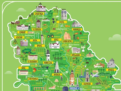
  12. AP Vojvodia Map branding cartography custom map design event map illustration map map design map illustration serbia srbija vector vojvodina
    View AP Vojvodia Map
    AP Vojvodia Map
    3
    605
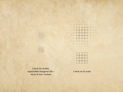
  13. Dungeoneering 005 cartography design system dnd dungeon illustration map making mapmaking maps tile system tiles vector
    View Dungeoneering 005
    Dungeoneering 005
    3
    913
  14. South Kivu Illustrated Map cartography coffee congo design fantasy map game design green illustration kivu map map design map illustration single origin world
    View South Kivu Illustrated Map
    South Kivu Illustrated Map
    12
    8.6k
  15. Dungeoneering 003 cartography design design system dnd dungeons illustration map making maps tile vector
    View Dungeoneering 003
    Dungeoneering 003
    4
    707
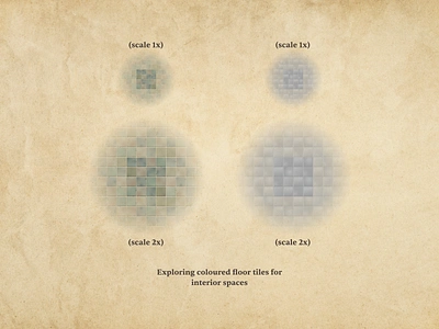
  16. Dungeoneering 002 cartography design dnd dungeon illustration map making maps tile tile system ui vector
    View Dungeoneering 002
    Dungeoneering 002
    3
    1.7k
  17. Map — Daily UI #029 app cartography dailuy daily ui 029 dailyui029 interface map maps ui ux
    View Map — Daily UI #029
    Map — Daily UI #029
    7
    2.9k
  18. Dungeoneering 001 cartography dnd dungeons illustration map design mapmaking maps tiles vector
    View Dungeoneering 001
    Dungeoneering 001
    2
    494
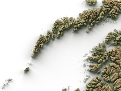
  19. Four maps for a travel magazine : Lofoten 3d 3d art blender cartography data visualization digital art geography gis graphic design illustration landscape lofoten norway poster design shaded relief
    View Four maps for a travel magazine : Lofoten
    Four maps for a travel magazine : Lofoten
    3
    981
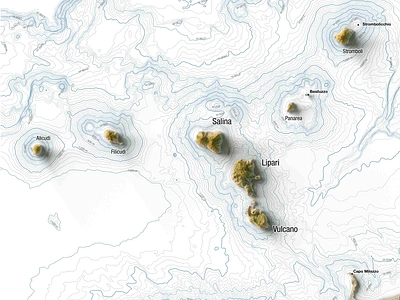
  20. Four maps for a travel magazine : Eolie islands (Italy) 3d map blender cartography eolie geography geospatial illustration italy magazine design map poster poster design qgis shaded relief sicily
    View Four maps for a travel magazine : Eolie islands (Italy)
    Four maps for a travel magazine : Eolie islands (Italy)
    3
    940
  21. Four maps for a travel magazine : Ethiopia 3d africa cartography cartography art data visualization digital art ethiopia graphic design illustration information design magazine minimal map poster design shaded relief
    View Four maps for a travel magazine : Ethiopia
    Four maps for a travel magazine : Ethiopia
    4
    679
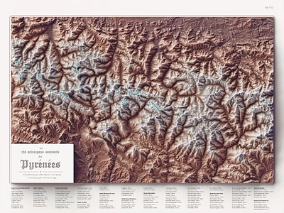
  22. The 128 main peaks of the Pyrenees 3d blender 3d cartography art custom maps data visualization digital art france map geospatial data mountains mountaint peaks poster design pyrenees shaded relief topography
    View The 128 main peaks of the Pyrenees
    The 128 main peaks of the Pyrenees
    4
    1k
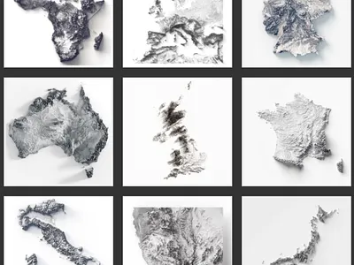
  23. Monochrome minimal places 3d 3d terrain africa asia australia blender cartography continents cycles digital illustration europe gis graphic design illustration landscape art map map art popster design shaded relief
    View Monochrome minimal places
    Monochrome minimal places
    1
    440
  24. New York City - shaded relief city map 3d blender 3d cartography art city landscape city map 3d custom map data visualization digital art geospatial data graphic design map map art map illustration new york city poster design shaded relief shaded rleif states of america usa
    View New York City - shaded relief city map
    New York City - shaded relief city map
    2
    120
Loading more…