Towards a Map for Palermo
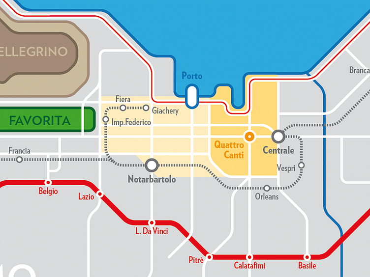
I'm working on a schematic transit map of Palermo (Sicily), inspired by the famous London Tube map, also trying to keep it quite accurate geographically.
The map is oriented according to the historical main axes (parallel to the seafront and perpendicular). In this scheme are shown: - the urban railway (dashed grey), - the highway with its exits (red), - the main urban streets (white), - the seafront way (red-white) and - some of the main landmarks.
It's a personal ongoing project, so any feedback is really appreciated!
More by Giulio Bordonaro View profile
Like
