Topographic Everdrone Map
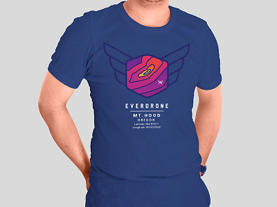
This is one of my latest t-shirts for Everdrone that uses the latitude and longitude of Mt. Hood. The honeycomb shape and wings are an outline of the brand's logo.
One of the cameras on board the aircraft is geothermal. So that's why I decided to use a warm color palette.