Piracy data
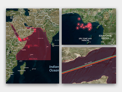

Here are a few shots of the Piracy layer styles that we created for SeaPassage Web. We hope to make it easier for our Fleet Management users to monitor where their vessels are in relation to pirate infested waters.
Side note: I had no idea how real of a threat pirates were until I started working on this! Scary stuff.
Designed in QGIS.
Press "L" if you like it!
