Geomorphometry - WebGL
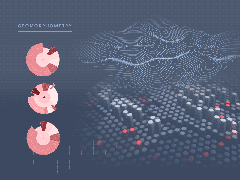


In simple terms, geomorphometry aims at extracting (land) surface parameters (morphometric, hydrological, climatic etc.) and objects (watersheds, stream networks, landforms etc.) using input digital land surface model (also known as digital elevation model, DEM) and parameterization software.
Extracted surface parameters and objects can then be used, for example, to improve mapping and modelling of soils, vegetation, land use, geomorphological and geological features and similar.