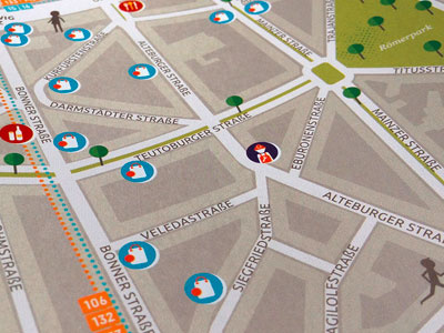
Cologne-Suedstadt_Map2
An illustrated map of the south district of Cologne, Germany around Chlodwigplatz. Showing streets, parks and public transport lines. Marked with icons, showing: shops (supermarket and boutique), food (bar, café, restaurant, ice shop), culture (stage - representing concerts and theatre) and galleries, and service (advisors and craftsmen).
More about the project: http://bit.ly/28LhkXV
Also to be liked under: http://bit.ly/28MYtX7. Thank you!
More by Illus | Icons | Infographics View profile
Like
