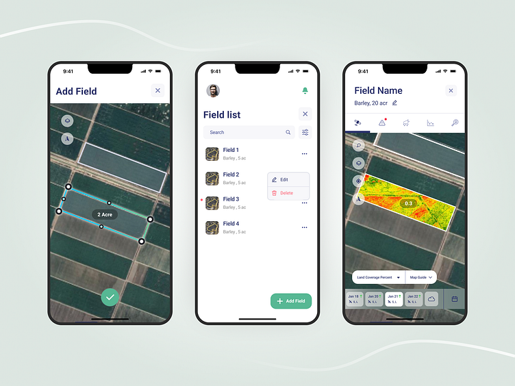
Monitor agriculture lands with satellite images
Here, we had a lot of information to display to the user.
And the problem was solved with the techniques of card sorting and usability test
So that the users can easily reach what they need.
More by Parnian Movahed View profile
Like
