Map Controls in DronaHQ
Map Controls in DronaHQ Studio
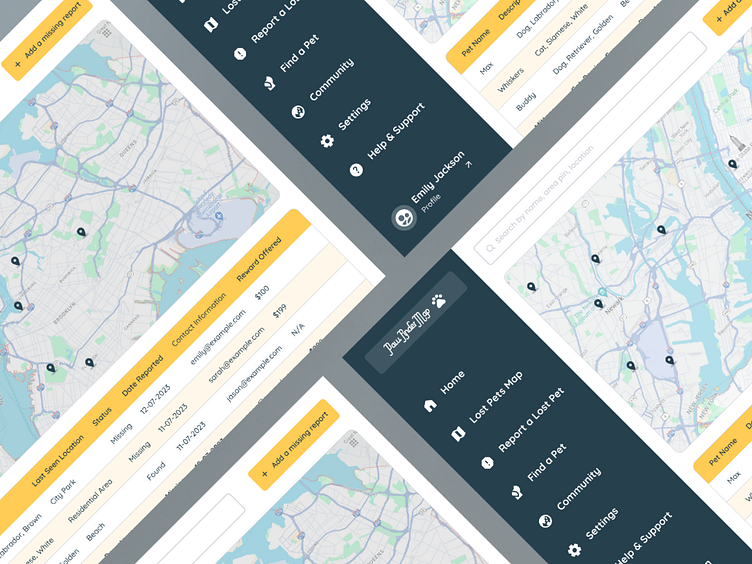
Introducing DronaHQ's dynamic Map control, a seamless solution for displaying and interacting with geographical data on both mobile and web applications.
Features:
Geographical Data Display: Present location-based information with a user-friendly map interface.
Interactive Elements: Enable users to seamlessly interact with the map through intuitive controls and gestures.
Customizable Properties: Tailor the map's height to suit your design preferences, ensuring a seamless integration into your app's layout.
Location Selection: Empower users to choose specific locations directly on the map, enhancing user engagement and personalization.
Information Display Options: Define actions to showcase location details with the "Show info on" feature, providing users with relevant information.
Dynamic Data Binding: Utilize JSON arrays to effortlessly bind and display diverse location-based data, adapting to specific use cases and property requirements.
Event Triggers: Leverage triggers such as "Add_location" and "value_select" to respond to user actions, enhancing interactivity and responsiveness.
Web and Mobile Responsiveness: Ensure a consistent and seamless experience across various platforms, optimizing the map control for both web and mobile applications.


