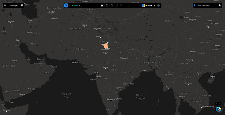
Add layer group and The power of geospatial data at your fingert
Get info on administrative borders with demographic data through high satellite imagery. Gain geographic coverage that encompasses the whole country, and the lowest geographic level with the town (ward level) and village.
More by Pawan Kumar Arya View profile
Like


