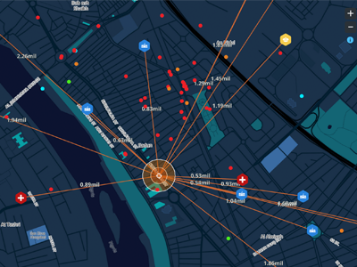
Global Terrorism Analysis Map
Visualised the data in a creative way for users to predict an incident and see who may have caused the event based on the data.
We also pick up the real-time detailed data about the events that occured within 3KM of the city.
Understanding the past events , predicting who may have caused the event for new incidents and analysing effected areas are good fields of use where it will move on to an intelligence application.
You can see the app here
http://peermesh.io/terrorism/#/map
You can view the info video here
https://www.youtube.com/watch?v=YIeDOogAK7M
Won the second place of ESRI World Data Visualization Challenge 2015 with this.
More by cagatay celebioglu View profile
Like


