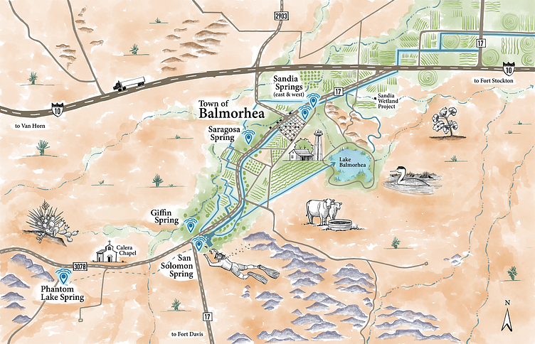
Desert Springs - Illustrated Map
This illustrated map was created for the Environmental Defense Fund to tell a story about groundwater in the West Texas desert. Final illustrations were incorporated into an interactive ESRI StoryMap to educate the public about the desert springs and their subterranean source.
To learn more visit www.lvbrownstudio.com
LVBrown Studio provides environmental visual communication illustration, illustrated maps, interpretive signage, and graphic design services.
I’m available for interesting projects!
Email: Lauren@lvbrownstudio.com
More by LVBrown Studio View profile
Like
