Kootenay River Floodplain Map
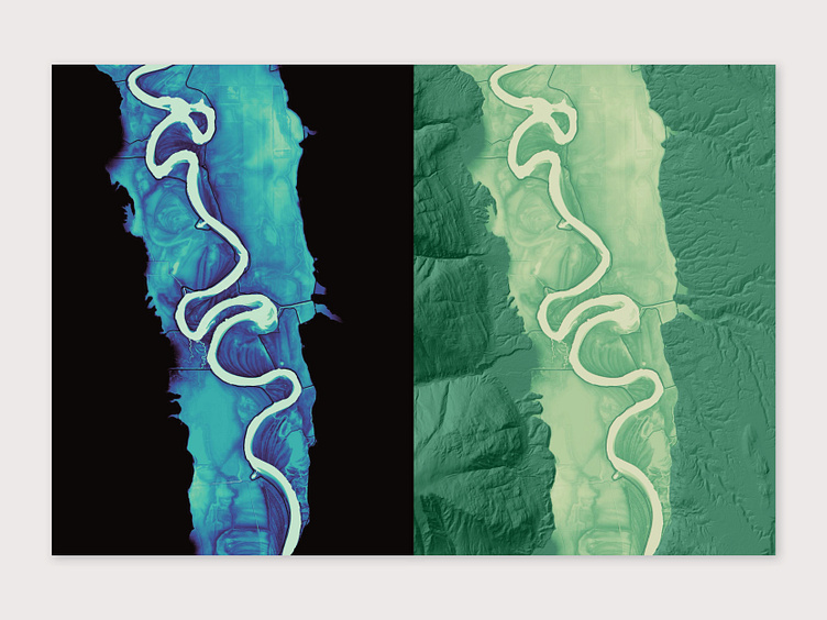
This is a map of the Kootenay River floodplain just south of the Canada/US border. Elevation data is from the USGS website and the maps are rendered in QGIS.
This is a map of the Kootenay River floodplain just south of the Canada/US border. Elevation data is from the USGS website and the maps are rendered in QGIS.
