AI ON HORIZON
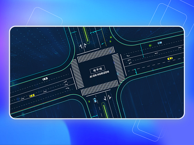
This is a map drawn according to the equivalence ratio of aerial real scene pictures, in which the camera, street corner, lawn and other positions are accurately positioned to restore the actual scene of the physical world to the screen for people to know about our T product in the exhibition.
