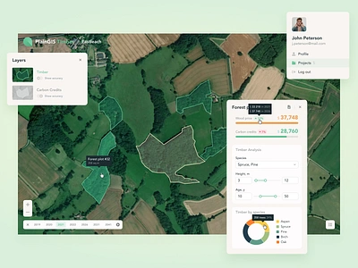
1. Carbon offset management : part 3 3d carbon carbon credits carbon offsets climate design ecology emissions footprint geo gis interface map nature plant reforestation trees ui uiux ux
    View Carbon offset management : part 3
    Carbon offset management : part 3
    69
    24.4k
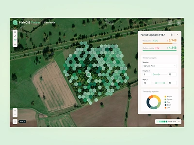
  2. Carbon offset management : part 4 3d carbon carbon credits carbon offsets climate design ecology emissions footprint geo gis interface map nature plant reforestation trees ui uiux ux
    View Carbon offset management : part 4
    Carbon offset management : part 4
    110
    31.4k
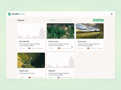
  3. Carbon offset management : part 2 3d carbon carbon credits carbon offsets climate design ecology emissions footprint geo gis interface map nature plant reforestation trees ui uiux ux
    View Carbon offset management : part 2
    Carbon offset management : part 2
    31
    15.3k
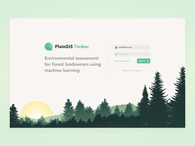
  4. Carbon offset management : part 1 3d carbon carbon credits carbon offsets climate design ecology emissions footprint geo gis interface map nature plant reforestation ui uiux ux
    View Carbon offset management : part 1
    Carbon offset management : part 1
    103
    33.1k
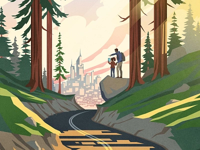
  5. GIS is Everywhere Poster Illustration explore forest geography gis illustration man parks people science vector
    View GIS is Everywhere Poster Illustration
    GIS is Everywhere Poster Illustration
    62
    14.4k
  6. M GIS Logo design brand brand identity branding design graphic design illustration logo logo design logo designer logo mark logos logotype m logo mark modern logo monogram symbol typography ui vector
    View M GIS Logo design
    M GIS Logo design
    5
    640
  7. Carbon offset management : part 5 3d carbon carbon credits carbon offsets climate design ecology emissions footprint geo gis interface map nature plant reforestation trees ui ux
    View Carbon offset management : part 5
    Carbon offset management : part 5
    37
    13.3k
  8. GIS report cartography colorful data geography gis icon information land logo map mapping paper report terrain
    View GIS report
    GIS report
    82
    87.5k
  9. fl~xscapes brand identity brand identity brand identity design branding design graphic design logo logotype
    View fl~xscapes brand identity
    fl~xscapes brand identity
    4
    513
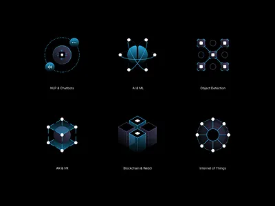
  10. GIS People Icon Set ai ar blockchain chatbot dark dark theme geometric gradient gradient icons icon design icon pack icon set icons iot ml nlp object detection vr web3
    View GIS People Icon Set
    GIS People Icon Set
    12
    2.8k
  11. Daily Earth Data Onboard, Card, Mapping & GIS gis vector web
    View Daily Earth Data Onboard, Card, Mapping & GIS
    Daily Earth Data Onboard, Card, Mapping & GIS
    13
    3.9k
  12. Remote Sensing/GIS Website branding design farm management gis green illustration remote sensing satellite soft ui ui ux
    View Remote Sensing/GIS Website
    Remote Sensing/GIS Website
    15
    2.7k
  13. GIS People Presentation ai dark theme deck design geospatial gis google slides graphic design iconography icons keynote ml nlp pitch deck powerpoint presentation tech technology
    View GIS People Presentation
    GIS People Presentation
    3
    1.6k
  14. GIS Map Illustration blue branding city design detail geography gis graphic design illustraor illustration information location location based service map minimal natural satellite vector
    View GIS Map Illustration
    GIS Map Illustration
    44
    13.8k
  15. Construction Site animation app character construction illustration job location man phone technology truck vector
    View Construction Site
    Construction Site
    23
    8.4k
  16. CloudGIS logo animated brand identity branding cloud colors geo gis illustration logo pin principle transitions
    View CloudGIS logo
    CloudGIS logo
    22
    5.2k
  17. A Cityscape of Votes - Southern California 3d animation data vizualization dataviz design elections graphic design illustration motion graphics
    View A Cityscape of Votes - Southern California
    A Cityscape of Votes - Southern California
    1
    1.3k
  18. GIS Day 2020 cartography days event gis gis analyis gis day important days map vector
    View GIS Day 2020
    GIS Day 2020
    0
    783
  19. Meet Mariana abstract aerial art artwork bathymetry blockchain colors cryptoart ethereum geography gis map mariana trench nature nft opensea polygon scientific spatial spectrum
    View Meet Mariana
    Meet Mariana
    15
    4.2k
  20. Cadastre animation brand design brand identity branding cadastre geo gis illustration logo logo animation pin simple logo
    View Cadastre
    Cadastre
    45
    8.5k
  21. Map Local Details Illustration blue branding city design detail gis gps graphic design illustraor illustration local location location based service map minimal search tehran vector vector art
    View Map Local Details Illustration
    Map Local Details Illustration
    8
    1.7k
  22. Smart Farming App AI branding graphic design ui
    View Smart Farming App AI
    Smart Farming App AI
    1
    1.4k
  23. A Cityscape of Votes - Los Angeles 3d animation data vizualization elections graphic design infographic design motion graphics politics
    View A Cityscape of Votes - Los Angeles
    A Cityscape of Votes - Los Angeles
    1
    586
  24. NatureQuant – NatureScore Infographic 3d branding geo health illustration infographic map nature startup branding
    View NatureQuant – NatureScore Infographic
    NatureQuant – NatureScore Infographic
    14
    1.2k
Loading more…