1. Editorial map illustration of Hoboken, New York cartography editorial editorial illustration illustration illustrator magazine magazine illustration map map illustration map illustrator new york map
    View Editorial map illustration of Hoboken, New York
    Editorial map illustration of Hoboken, New York
    13
    2.2k
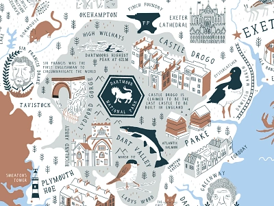
  2. Devon Map- Shot 2 cartography illustration mapdesign maps typography
    View Devon Map- Shot 2
    Devon Map- Shot 2
    168
    90.4k
  3. Maps Illustrated by Steven Noble artwork cartography drawing engraving etching illustration line art map maps scratchboard steven noble topography woodcut
    View Maps Illustrated by Steven Noble
    Maps Illustrated by Steven Noble
    102
    25.7k
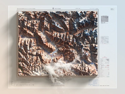
  4. Jammu and Kashmir - 3D Photoshop Render 3d 3d map generator cartography extension generator heightmap illustration map mundik pakistan photoshop plugin render
    View Jammu and Kashmir - 3D Photoshop Render
    Jammu and Kashmir - 3D Photoshop Render
    267
    41.7k
  5. Birmingham Weekender Festival: Illustrated Event Map birmingham birmingham centre birmingham city bull ring cartography editorial editorial illustration illustrated map illustration magazine magazine illustration map map creation map design map drawing map illustration
    View Birmingham Weekender Festival: Illustrated Event Map
    Birmingham Weekender Festival: Illustrated Event Map
    13
    1.3k
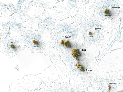
  6. Four maps for a travel magazine : Eolie islands (Italy) 3d map blender cartography eolie geography geospatial illustration italy magazine design map poster poster design qgis shaded relief sicily
    View Four maps for a travel magazine : Eolie islands (Italy)
    Four maps for a travel magazine : Eolie islands (Italy)
    3
    941
  7. Map illustration of Polk County, Florida cartography editorial editorial illustration florida illustration florida map illustration illustrator magazine magazine illustration map map design map illustration map illustrator
    View Map illustration of Polk County, Florida
    Map illustration of Polk County, Florida
    15
    2.3k
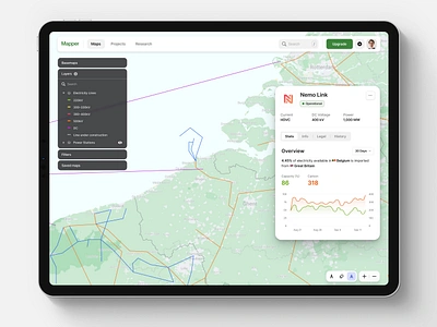
  8. Mapper Concept Dashboard analytics cartography electricity grid geographic information system gis layers map maps navigation ui
    View Mapper Concept Dashboard
    Mapper Concept Dashboard
    16
    3.4k
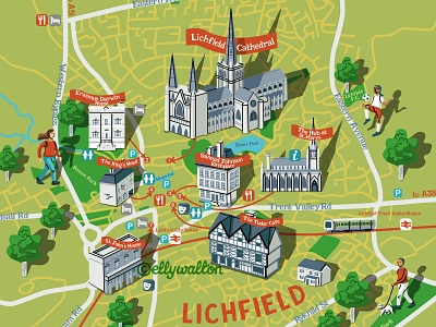
  9. Lichfield City illustrated vector tourist map cartography city map editorial editorial illustration illustrated map illustration magazine map map illustration tourist map
    View Lichfield City illustrated vector tourist map
    Lichfield City illustrated vector tourist map
    67
    26.6k
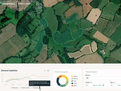
  10. Mining and Exploration Web GIS application analytic attributes cartography dashboard data dataviz filters geological gis interactive interactive map layers maps mining openlayers react redux ux web webdesign
    View Mining and Exploration Web GIS application
    Mining and Exploration Web GIS application
    43
    20.9k
  11. Maps for a Friend art building cartography cartoon digital illustration landmark map vector
    View Maps for a Friend
    Maps for a Friend
    30
    6.3k
  12. Illustrated Map for Marriott Breadsall Priory Hotel cartography digital art hotel map illustrated map illustration information map map map drawing map illustration photoshop illustration tourism map tourist information tourist map
    View Illustrated Map for Marriott Breadsall Priory Hotel
    Illustrated Map for Marriott Breadsall Priory Hotel
    10
    1.3k
  13. Loveland Topographic Snowboard Detail cartography colorado graphic loveland modern mountain snow snowboard student topo topographic topography
    View Loveland Topographic Snowboard Detail
    Loveland Topographic Snowboard Detail
    38
    5.3k
  14. Map — Daily UI #029 app cartography dailuy daily ui 029 dailyui029 interface map maps ui ux
    View Map — Daily UI #029
    Map — Daily UI #029
    7
    2.9k
  15. Balmoral Castle Audio Tour Map cartography hand drawn illustrated map illustration illustration art mapping maps tourist map vector visitor map
    View Balmoral Castle Audio Tour Map
    Balmoral Castle Audio Tour Map
    51
    33.6k
  16. Map of South West England's GWR train routes for GWR magazine cartography editorial england map illustration magazine map map illustration south west england train map
    View Map of South West England's GWR train routes for GWR magazine
    Map of South West England's GWR train routes for GWR magazine
    10
    2.6k
  17. Jackson Lake Cartography cartography design maps
    View Jackson Lake Cartography
    Jackson Lake Cartography
    21
    2.5k
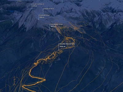
  18. SAR Search | 3D Visualization 3d animation cartography infographic map mapbox
    View SAR Search | 3D Visualization
    SAR Search | 3D Visualization
    14
    1.8k
  19. Family Traveller Cornwall Map - Shot 1 cartography cornwall illustration mapdesign maps
    1
    View Family Traveller Cornwall Map - Shot 1
    Family Traveller Cornwall Map - Shot 1
    26
    7.1k
  20. GIS report cartography colorful data geography gis icon information land logo map mapping paper report terrain
    View GIS report
    GIS report
    82
    87.5k
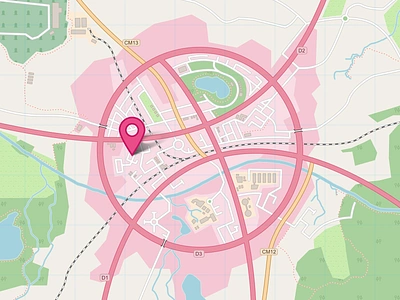
  21. Hello Dribbble! cartography city debut dribbble icon map road rural street symbol topography town urban vector village
    View Hello Dribbble!
    Hello Dribbble!
    306
    44.6k
  22. Explore New Horizons beach cartography florida fortmyers illustration kayak map tourism vector
    View Explore New Horizons
    Explore New Horizons
    38
    10k
  23. SF Layer Cake cartographic cartography data digital driver driving layers map mapping maps uber uber design
    View SF Layer Cake
    SF Layer Cake
    296
    56.2k
  24. The design for application that uses machine learning analytic cartography co2 dashboard data database design diagram filters geography gis gis applications interactive machinelearning map maps ui ux web webdesign
    View The design for application that uses machine learning
    The design for application that uses machine learning
    9
    2.3k
Loading more…