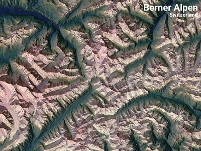
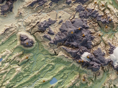
1. 2-dimensional mountains. Part of the Bernese Alps 3d color colorful design dimension flat geographic geography gis illustration map mapping mountain mountains poster qgis raster switzerland
    View 2-dimensional mountains. Part of the Bernese Alps
    2-dimensional mountains. Part of the Bernese Alps
    10
    4.4k
  2. Fieldnotes Swag item for Boundless event fieldnotes gis illustration location map swag
    View Fieldnotes Swag item for Boundless
    Fieldnotes Swag item for Boundless
    11
    1.5k
  3. Garden of Eden: Iraq's Marshland art data gis illustration iraq map watercolor
    View Garden of Eden: Iraq's Marshland
    Garden of Eden: Iraq's Marshland
    10
    1.6k
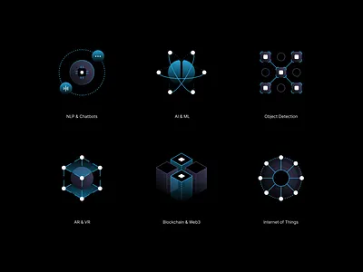
  4. GIS People Icon Set ai ar blockchain chatbot dark dark theme geometric gradient gradient icons icon design icon pack icon set icons iot ml nlp object detection vr web3
    View GIS People Icon Set
    GIS People Icon Set
    12
    2.8k
  5. SAPO Services Gis illustration map tools
    View SAPO Services Gis
    SAPO Services Gis
    8
    957
  6. Map of Craftbeer Vitoria-Gasteiz beer cartography craftbeer custom maps data visualization design gis graphic design map map design maps
    View Map of Craftbeer Vitoria-Gasteiz
    Map of Craftbeer Vitoria-Gasteiz
    10
    1.4k
  7. Winnipeg Isochrone Map canada flat gis isochrone map mapping poster qgis vector walk
    View Winnipeg Isochrone Map
    Winnipeg Isochrone Map
    5
    2.3k
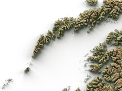
  8. Four maps for a travel magazine : Lofoten 3d 3d art blender cartography data visualization digital art geography gis graphic design illustration landscape lofoten norway poster design shaded relief
    View Four maps for a travel magazine : Lofoten
    Four maps for a travel magazine : Lofoten
    3
    986
  9. Sri Lanka 3D 3d blender blender3d color geographic geography gis illustration inkscape map mapping minimal monochrome openstreetmap poster qgis srilanka vector
    View Sri Lanka 3D
    Sri Lanka 3D
    14
    4.9k
  10. Laugavegur - ULTRA maraþon map 3d blender custom map digital art europe gis graphic design iceland laugavegur map design poster design shaded relief topographic map
    View Laugavegur - ULTRA maraþon map
    Laugavegur - ULTRA maraþon map
    2
    204
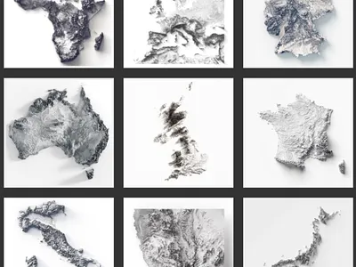
  11. Monochrome minimal places 3d 3d terrain africa asia australia blender cartography continents cycles digital illustration europe gis graphic design illustration landscape art map map art popster design shaded relief
    View Monochrome minimal places
    Monochrome minimal places
    1
    444
  12. API Utilities api gis illustration isometric map people software
    View API Utilities
    API Utilities
    5
    1k
  13. Book Cover Proposal alien ship american gis battle tank illustration m4 sherman tank retro spaceship t 34 russian tank world war world war 2
    View Book Cover Proposal
    Book Cover Proposal
    7
    1.4k
  14. Daily Earth Data Onboard, Card, Mapping & GIS gis vector web
    View Daily Earth Data Onboard, Card, Mapping & GIS
    Daily Earth Data Onboard, Card, Mapping & GIS
    13
    3.9k
  15. Diversity of users gis illustration isometric maps people software technology
    View Diversity of users
    Diversity of users
    3
    767
  16. Brest brest europe european flat france geography gis map mapping style vector
    View Brest
    Brest
    14
    1k
  17. Equinox Logo Sketch geospatial gis space yellow
    View Equinox Logo Sketch
    Equinox Logo Sketch
    3
    1.3k
  18. GIS People Presentation ai dark theme deck design geospatial gis google slides graphic design iconography icons keynote ml nlp pitch deck powerpoint presentation tech technology
    View GIS People Presentation
    GIS People Presentation
    3
    1.6k
  19. LA | Thornton Watershed Map + Diagram analysis cad design diagram gis illustrator landscape architecture map protection research salmon seattle watershed wildlife
    View LA | Thornton Watershed Map + Diagram
    LA | Thornton Watershed Map + Diagram
    6
    1.3k
  20. Map of Pedaleando Románico Palentino cartography custom maps data visualization gis graphic design guide illustration infographics map map design maps route
    View Map of Pedaleando Románico Palentino
    Map of Pedaleando Románico Palentino
    2
    1.3k
  21. THE BALI cartography geodesy geography gis illustration map mapping relief
    View THE BALI
    THE BALI
    1
    1.6k
  22. Feasibility study - Exurban transport network extension cartography design design art geospatial gis illustration open source poster technical illustration technical illustrator
    View Feasibility study - Exurban transport network extension
    Feasibility study - Exurban transport network extension
    1
    876
  23. Smart City GIS project design gis vector
    View Smart City GIS project
    Smart City GIS project
    1
    803
Loading more…